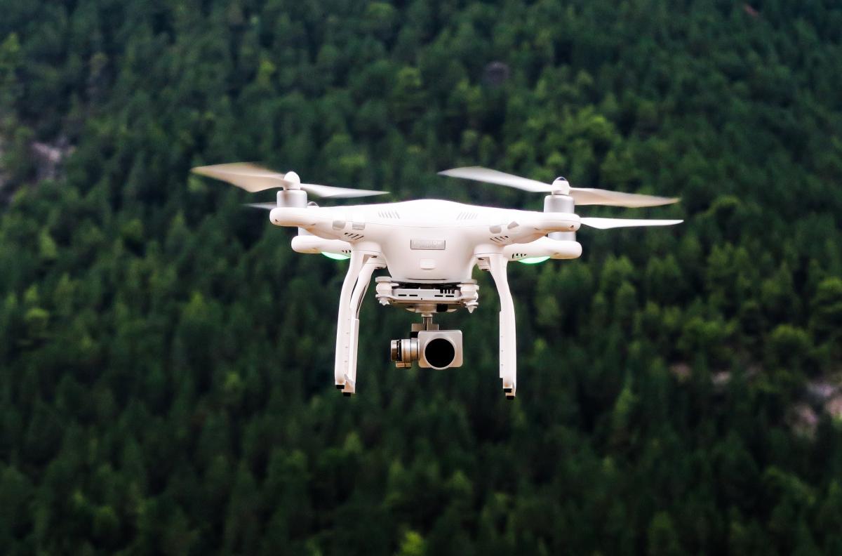
Satellite images, drone photos, and even Google Earth could help identify communities most at risk for schistosomiasis, one of the world’s worst tropical diseases, researchers report
Source and Full Article
MSI Principal Investigators